
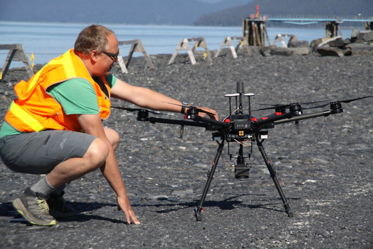
Elevate UAS finished flying its drone over Wrangell last week, taking photos and gathering digital data of the terrain from a pulsing laser aimed at the ground, known as LiDAR. The company was in town to finish the aerial work on its borough contract, which covers almost 1,400 acres from the north end of Wrangell Island to south and east of Heritage Harbor. Andy Dietrick (above) preps the drone for another flight May 19. He and Cole Smith, owner of the Portland-based company, were on their second trip to Wrangell to fly the drone, which has about a four-foot wingspan and weighs 20 pounds befor...
Reader Comments(0)